About a year ago, I started to dream about a multi-day beach riding trip in the Upper Peninsula of Michigan. Someone from my past life had told me tales of how Lake Michigan ended as a shallow whisper against the southern edge of the deliciously underpopulated U.P. I hatched a plan, where four or five riders would tag team their way, taking turns behind the wheel of a sag vehicle, while the remainder of the group rode their fat bikes along the beach. While I was honing that idea to some sort of a dull edge, I met Tom Funke from trailspotters.com at the St. Fatty’s Day Race & Expo up in Gaylord Michigan. Tom was manning the booth for his shuttle company that is based in Grand Marais. I shared my ideas about touring along the bottom of the U.P. and he told me that if I wanted the best stretch of beach in the UP, that I should take a look at the beaches east of Grand Marais and the Pictured Rocks National Lake-shore. So when I got home from that trip, I did what I usually do, when I first begin to research a section of beach (beachsearch)…I went to google maps and zoomed in on the satellite views of the area. It Looked Hella Good! No paved roads and very little development coupled with wide expanses of sandy beach. I picked Tom’s brain a little bit more and decided to schedule the trip in Mid-July.
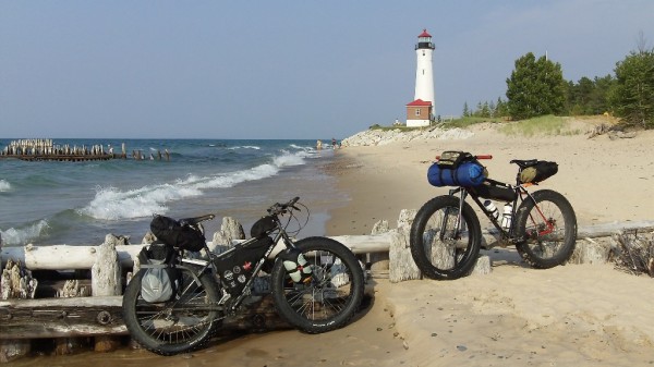
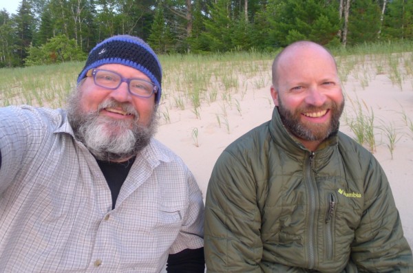
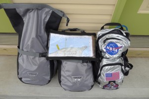 I used the spring and summer months to reacquaint myself with the fine art of fat-bike-packing. I started off with a couple of sub 24 hour overnight trips using my twenty year old mountainsmith panniers and some dry bags that I already had from canoe trips. Working as a fat-bike evangelist exposes me to all manners of packs, racks and camping accessories, so I started to accumulate newer school gear right up to the moment that we arrived in the UP. My Moonlander was set up with a frame bag (hand made by my friend Cale) a Revelate Designs Seat Bag, a set of Seatle Sports Dry Bag Panniers mounted to an Old Man Mountain Rack, an Oveja Negra Snack Pack and two small compression dry bags mounted to my fork via Salsa Anything Cages. Fortunately for me, my friend James was able to quit one of his jobs and join me on this little adventure. He’s a former NOLS instructor and super patient, so I knew my butt was pretty much covered, if the shit hit the fan or we ran out of beer. James packed all of his gear onto his six-1-six fatty in a full set of Oveja Negra bags that he will be reviewing for the site in the next few weeks. Playing it fast and loose, we rolled into Grand Marais and made arrangements with Tom at Trailspotters to get our shuttle set for the following morning and then grabbed our groceries at a tiny little market. We camped up the road and split up our shared food and gear for the trip. Eventually everything made its way into the bags.
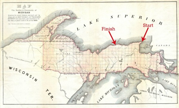
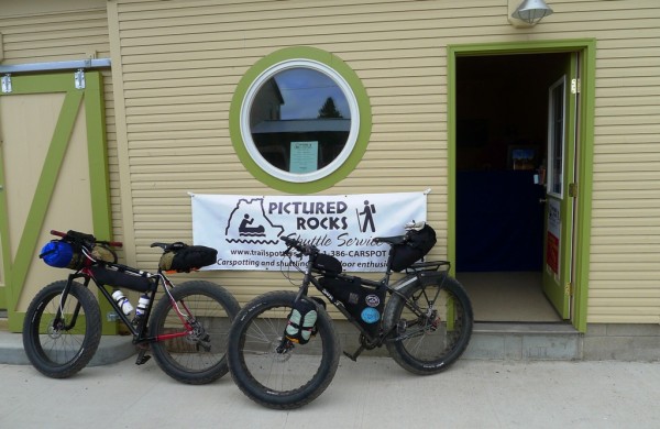
The next morning we met at the trailspotters international headquarters in Grand Marais, where Tom had set us up with a van to shuttle our bikes and us out to Whitefish Point. Tom shared a ton of local knowledge about the route we were taking as we looked over the maps and fine tuned our final itinerary. The plan was to cover 60+ miles of beach over three days, with two nights of camping. After that, we loaded everything in the van and headed out to Whitefish Point, where our ride would start.
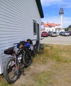
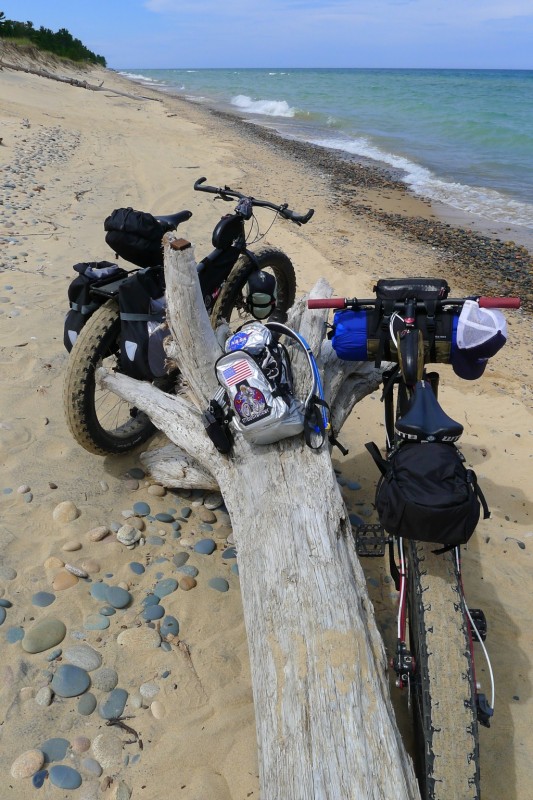
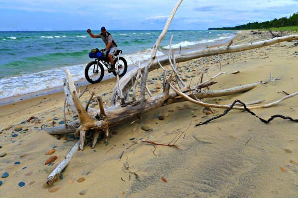
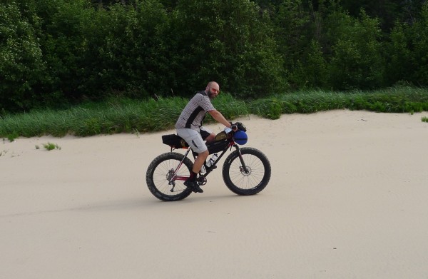
The Whitefish Point Lighthouse and Maritime Museum were buzzing with lots of tourists when we arrived. Under the curious gaze of family vacationers we loaded our bags onto the bikes and made our way down to the rocky beach. Within minutes of getting on the bikes we left civilization behind. One of the first things I noticed was the remarkably beautiful rocks all along the beach.This must be where all of the pretty rocks go to retire! It was a nice cool day with a north wind that felt like air conditioning thanks to old Gitchie Gumi. Storm Clouds loomed out over Lake Superior, but we enjoyed mixed sun for most of the day. The sand conditions were very soft, so we started to stop and bleed off air pressure a little bit at a time. This made for some slow grinding, but we had all day to put in our twenty-one or two miles, which would take us out past the Crisp Point Lighthouse, where we planned to make camp. Tom had shared with us that we’d need to hike-a-bike in some spots, over downed tress and that there would be a cliff section where we might just sneak by, as long as we didn’t mind getting wet.
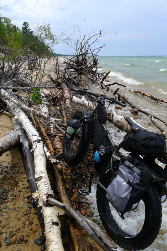
We got pretty used to hoisting our fully loaded fatties over tree snags and eventually had to billy goat up the dune and hike-a-bike slash ride a bit of really overgrown track that took us up on top of some bluffs that overlooked the lake for a short section. We always made it back down to the water’s edge for some of the best beach riding that I’ve experienced. The skies turned a little bit more threatening and along with a little spitting rain, the wind shifted into our faces. The beach turned decidedly more rocky and I lagged behind James till he was just a speck on the horizon. I bled some additional air out of my Big Fat Larrys and chugged along….happy as a clam. James waited for me and pointed out some moose tracks in the sand that he’d come across while waiting. We broke out some gorp and enjoyed the beauty and solitude.
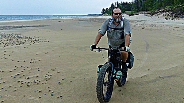
James and I rode the next section of beach together following some wolf tracks in the sand that paralleled the dune grass. When I had daydreamed about fat-packing in the UP this was precisely what I had imagined that it would be like. Miles and miles of pristine beach with no sign of human beings. We hadn’t seen a sole since we left Whitefish Point. We hadn’t even seen a human foot print in the sand for quite awhile. It kind of makes the hike-a-bike sections seem worth the extra effort to get to such a wild and beautiful place.
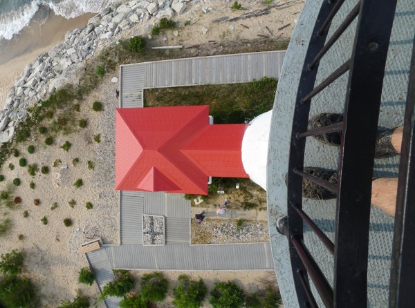
Somewhere around the twenty mile mark, we spied, the Crisp Point Lighthouse on the horizon. We parked the bikes and climbed the spiral stairs up to the top of the lighthouse and crawled out onto the catwalk to soak in the stunning three hundred and sixty degree views! We planned to camp just a mile or two down the beach from there and after a nice break, we headed out to find a suitable spot to make camp.
I was rather vaped by the time we made it out of view of the lighthouse and chose our spot to camp. The first order of business when the day’s ride was done, was to go for a Skinny (fat) Dip in Lake Superior! The swim was just what the doctor ordered! James cooked us up some pasta and I did the dishes. After dinner we lounged on the beach and watched the sun set while enjoying some Patron Reposado.
Stay tuned for part two of the story, coming up, next week!
Same Fat-Time! Same Fat-Station!
PART TWO – http://fat-bike.com/2012/08/lake-superior-fat-pack-part-two/

Great story and pics!!!
And the NASA/Moonlander CamelBak Tin Man Mule is Effin awesome.
Sounds like a really great adventure. Would you say the beach terrain is similiar to the direct east side when you took the ferry across lake michigan or no ? Were there signs of low water along the northern stretch ? Lots of receeding dunes exposed ? That area is so hypnotic and relaxing…glad to hear you got tickled by gitchie gumi..
Sounds like a great trip! Looking forward to reading part 2!
Seriously cool hydration pack. You ought to send that picture to JPL or Cape Canaveral. I bet they would get a kick out of it.
Great trip and post-ride report. Thanks for taking us along!
Thinking of doing a 120(ish) mile loop up that way, following your beach ride from Whitefish Point heading west, then heading back east on the dirt roads and 2-tracks. Or possibly pushing further west towards Munising, riding Grand Island, and then heading back.
Also if you’re still considering it, I’d potentially be game for going with a small group of guys where someone piggy-backs a vehicle forward each day…alternating between riding and driving.
Lemme know! (You’ve got my email addy…)